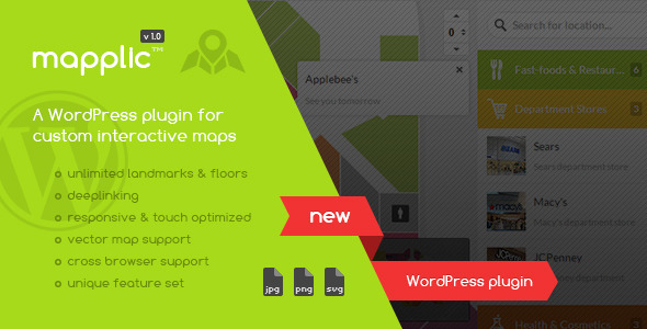

If you would like to turn your photo/vector graphic map into a fancy interactive map application that is supported by every major browser and it’s working even on mobile or other touch devices, you can stop searching, you’ve come to the right place. In fact, you came to the only place, since it is the only utility available with this unique feature set.
The supported map file formats are: JPG, PNG and SVG.
Main features:
- Unlimited landmarks: Any number of locations with unique pins and various actions
- Unlimited floors: Multiple floors are supported without any limitation
- Admin interface: user friendly backend
- Deeplinking: Every location can be referenced by it’s own URL
- Browser support: Works great in every major browser, even Internet Explorer 8
- Responsive design: Provides optimal experience across a wide range of devices
- Touch optimized: Touchscreen devices, like tablets and smartphones are also supported
- Well documented: A detailed user guide is included
Why to use
There are dozens of web mapping applications available, like Google Maps, however in some cases other approaches may be needed in order to provide proper results. The following are just a few of the possible applications that can be achieved exclusively with this utility:
- Buildings: Shopping malls, hospitals, airports, public buildings, blueprints or any building that is too small to be detailed on the world map, however it has importance. Displaying multi-storey structures is highly effective.
- Illustrated maps: Ski maps, isometric maps or any kind of illustrations.
- Fictional maps: Fantasy maps, RPG and other video game maps, anything that cannot be found on the world map.
- Temporary maps: Camps, festivals or anything that is not permanent. Moving objects, like cruise ships can also have maps.
Please don’t forget to rate after purchase!