Tag: google map plugin

  • UTD Google map – Customizable Google Maps for WordPress (Miscellaneous)

    UTD Google map – Customizable Google Maps for WordPress (Miscellaneous)

    “UTD Google Map”.
    We chose Google Maps functions and turned them into an excellent plugin. Now you can use them with maximum availability, simplicity and convenience. Thanks to our plugin in just 5 minutes you can create a unique design and functionality map for your website.

    • 1 000 000 + variants of customization;
    • Responsive;
    • Mobile friendly;
    • All browsers support;
    • Full screen mode;
    • Ready themes;
    • Custom themes;
    • GPS location mode;
    • Custom Popup;
    • Easy customization for every elements;
    • Support of the Russian and English languages and Manual;
    • Plugin provide support of adding of a card in a widget and implementation through the built-in text editor;
    • Show centered map in the place of a location;
    • Search of the place by the address or coordinates;
    • Map Scale (minimum., maximum for initial scale);
    • Complete Customization of all elements of the map (roads, waters, relief and other elements);
    • Show of a traffic;
    • Opportunity to show or hide map controls;
    • Stylization Setup;
    • Opportunity to show or hide any elements of a map;
    • Opportunity to select a ready template of a map;
    • Opportunity to generate an own unique template for a map and to add it in the Json format;
    • Installation of markers to the address or coordinates;
    • Use of the built-in markers for your map;
    • Opportunity to load an own unique markers;
    • Opportunity to animate a marker;
    • Opportunity to Remove pop-up to a marker;
    • Possibility of creation of your own unique styles for your pop-up;
    • Opportunity to adding the image in the pop-up;
    • Opportunity to get the position for the image in the pop-up;
    • Possibility of an output of the image in an original size, also you can contain the image in the pop-up or specify to the image the maximum sizes;
    • Opportunity to change a standard button of closing the pop-up having replaced it with beforehand loaded or you can upload the own unique button of closing the pop-up;
    • Opportunity to show or hide the closed button;
    • Opportunity to change background color the pop-up;
    • Opportunity to change size for a pop-up;
    • Specify a shadow for a container the pop-up;
    • Opportunity to add the border, customize the color and border radius for the pop-up;
    • Opportunity to edit the text by means of the built-in text editor;
    • Opportunity to create and set up under the unique styles:
      – Polylines
      – Poligones
      – Rectangles
      – Circles
      All these elements can be created in read seconds having specified to the cursor on the map. You can change color, the size, transparency and many other styles for these elements;
    • Geolocation can display position of the users on the map;
    • Possibility of Import and Export of settings of a plugin;
  • Color Map Visible Composer (Add-ons)

    Color Map Visible Composer (Add-ons)

    Color map

    version: 1.0.1

    Description:

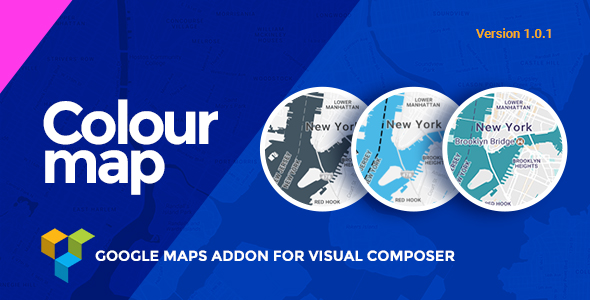
    This is a addons for visual composer to generate fully customized colored google maps in your local .

    Features:

    • 1.Fully Responsive colored Maps
    • 2.Mobile device supports
    • 3.support custom marker image
    • 4.Any HTML support in marker popup content.
    • 5.Option to View Full Screen Map
    • 6.Easy integration
    • 7.Works with addresses
    • 8.Show / Hide any map control
    • 9.Address field autocomplete
    • 10.Inbuilt map marker
    • 11.custom zoom lavel

    Note:

    Before purchasing this plugin, please make sure that this plugins depends on Visual composer.

    Support:

    Feel free to contact us if you have any questions.

    Email: 0effortthemes@itobuz.com

    Write Us: http://www.0effortthemes.com/support/

    Demo:

    View Demo on this link Demo

  • CreaMaps (Add-ons)

    CreaMaps (Add-ons)

    CreaMaps intro
    CreaMaps – it’s addon to Visual Composer page builder plugin. It’s compatible with all WordPress themes which are using Visual Composer plugin. CreaMaps is created as shortcode to help you to customize and use it very quickly. It combine a lot of unique options that you can’t find anywhere else so your contact section or map will be definitely exactly that one you need. All the options are created after deep analyzing of customers’ needs. CreaMaps is a user-friendly, easy to use, responsive, highly customizable and powerful addon for using even without coding skills.

    features creamaps

    Key Features (like image or with images)
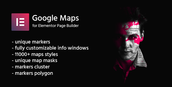
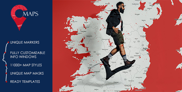
    – unique markers (SVG markers, Font markers, Inline code markers);
    – fully customizable info windows (colors, font options, etc.);
    – 11000+ map styles (and every day more styles are adding);
    – unique map masks (text, gradient, image);
    – ready templates (templates are also customizable).

    CreaMaps Features
    – Multiple markers on one map is available to use. On each map you can use as much markers as you need and each marker can be unique. There is an opportunity to use custom marker icon types: default Google map marker, custom image marker (there is an opportunity to upload your own image), Font icon marker (select that one you need from big number of icons), Inline code marker (use your own code to create marker). Each marker can be exactly that one you need and each type can be used on one map.
    – Latitude and longitude is available to choose exactly while clicking on field (Google Map automatically opens and you can put marker where you need without needs to select coordinates in separate window).
    – At the moment there are 6 Icon Libraries for selecting icon while using Font icon marker style (Font Awesome, Open Iconic, Typicons, Entypo, Linecons, Pixel, Mono Social).
    – Fully customizable info window. There are 4 types of info window (None or Custom Link, Default (white), Black, Custom). Multiple options are available to use while customizing info window (Font color, Background color, Font size, Border radius, Padding, close info window on map click, show/hide close button). Each marker (even on the same map) can have custom one of 4 types of info window directions (Top, Bottom, Left, Right).
    – All standard Google maps settings (Zoom, Width, Height, Horizontal/Vertical offset), auto zoom to fit all markers that are using on map options will help you to set that sizes and position you need to have. Besides there is an option to enable or disable map zooming while scrolling on map (Enable Scrollwheel option).
    – Cluster will help to combine markers of close proximity into clusters. Also available cluster customization. You can select image for cluster (it’s width, height), font size and font color. This option will helps to combine markers of close proximity into clusters, and simplify the display of markers on the map.
    – Possibility to enable Polygon option. It’s is also available to customize. Here is an opportunity to set up border color, border weight and background color. Polygon represents an area enclosed by a closed path (or loop), which is defined by a series of coordinates.
    – Google Map UI controls. There are 6 UI options that can be used in that way you need and in that combination you wish. Here is an opportunity to enable or disable next options: Show zoom control, Show map type control, Show scale control, Show fullscreen, Show rotate control, Show street view control.
    – 11000+ map styles. You don’t need to follow to another website and select there style, copy after that code with style and paste into theme files. Besides, there is an opportunity to search that style you need or use one of filters which are available.
    – Custom map style. If there is no that map style you need in that 11000+ examples – you have an opportunity to use custom code of map to have exactly unique and not looks like some other view.
    – Really cool feature: Mask! Here is an opportunity to select one of multiple types for map mask: default (without mask), text (text as a mask with a lot of options to customize it), image and gradient. Image option has a lot of ways to style it: width, height, opacity, background, filters. Gradient option allows you possibility to select background color, width and opacity.
    -Templates. You have an opportunity to select template of contact section if you need with options to fill them up with your content.
    – Possibility to add Fusion table.
    – Possibility to add map everywhere you need. There is an opportunity to add CreaMaps shortcode to page, post or some other post type which supports creating with Visual Composer.
    – CreaMaps is fully responsive. It looks pretty on different devices (phones, ipads, laptops).
    – Cross browser compatibility. This shortcode will display on different browsers in good way.
    – Google fonts included.

    Thank you message
    Thank you for checking our product! If you have some questions – feel free to contact us to get our help. If you have some suggestions how to improve our CreaMaps – we are ready to listen to you and do all the best to make you satisfied!

  • QT Locations: Interactive Responsive Google Maps wordpress Plugin (Media)

    QT Locations: Interactive Responsive Google Maps wordpress Plugin (Media)

    QT Places: Plugin Description

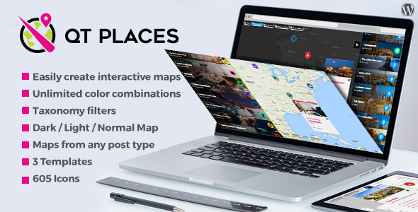
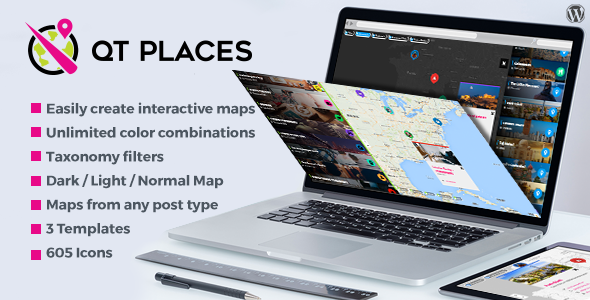
    QT Places is an elegant and versatile WordPress plugin to display custom Google maps.

    After the installation, a new post type called “Places” will appear in your WordPress menu, and you can immediately start adding new places.

    Places categories

    Places have their own taxonomy, called “Place Category”. With this feature, you can easily create maps to display only one or few selected categories of places.

    Unlimited versatility

    You can add Map capabilities to any existing post type, including normal posts, pages, or any custom post type added by other themes or plugins.

    You can also use any other existing taxonomy to create the map filters, and to display specific selected categories of posts.

    Usage inspiration:

    For example, you can create a map of your travel articles, and use the blog categories as filters: for the visitors will be easy and fast to browse your articles based on the country or city.

    Or for instance, for your site of recipes, you can create a world or country map with the recipes of each region, and use the ingredients as filters.

    Another useful example, is a map of all the shops of a big franchise, allowing the customer to easily find the closest sales point.

    Or, you can do all these things at the same time!

    Instead, you can have in the same page a map of places, a map of posts, and a map of pages or portfolios.

    Super responsive

    Tested on iPhone and Android, you can also specify a custom height for the mobile version.

    Easy shortcode button

    Create maps of every post type you want
    You can add map capabilities to any existing post type, standard like posts or pages, or “custom” like portfolio. In the following example you can see a map displaying the custom post type Portfolio. Very useful for example for a building company, a shop franchise, a worldwide recipes map, a tour guide, a tourism blog, a travel agency and more!

    Discover more:

  • WordPress GOOGLE MAPS WIDGET (Add-ons)

    WordPress GOOGLE MAPS WIDGET (Add-ons)

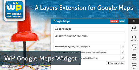
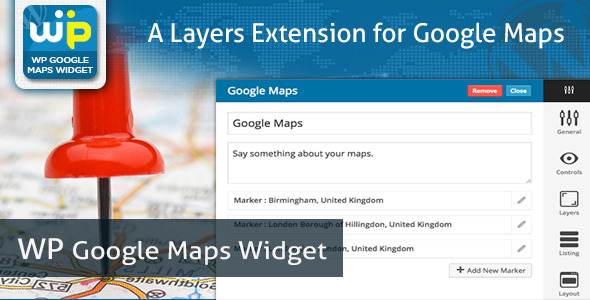
    This plugin is a google maps extension for Layers theme to create google maps easily. WP Google Maps Widget is an easiest wordpress plugin to add multiple maps on a map, add any number of markers without worrying about latitude and longitude and get instant preview before save. Below are the list of features you can use seamlessly with this plugin.

    GENERAL SETTING

      <il>Map Width
      <il>Map Height
      <il>Zoom Level
      <il>Map Type
      <il>Center Latitude
      <il>Center Longitude

    • ON/OFF Scroll Wheel
    • ON/OFF Map Draggable
    • Map Styles – Copy styles from snazzymaps.com and paste in General Setting
    • ON/OFF Street View
    • ON/OFF Visual Refresh

    CONTROL SETTING

      <il>Show/Hide Pan Control
      <il>Position of Pan Control
      <il>Show/Hide ZOOM Control
      <il>Position of ZOOM Control
      <il>Show/Hide Map Type Control
      <il>Position of Map Type Control
      <il>Show/Hide Scale Control
      <il>Position of Scale Control
      <il>Show/Hide Street View Control
      <il>Position of Street View Control
      <il>Show/Hide Overview Control
      <il>Position of Overview Control

    LAYERS SETTING

      <il>Show/Hide KML Layers
      <il>Show/Hide KMZ Layers
      <il>Show/Hide TRAFFIC Layers
      <il>Show/Hide TRANSIT Layers
      <il>Show/Hide WEATHER Layers
      <il>Setup Wind Unit for WEATHER Layers
      <il>Setup Temperature Unit for WEATHER Layers

    LISTING SETTING

      <il>Show/Hide Markers below the map.
      <il>Display number of locations per page.
      <il>Listing Placeholder to decide location information and it’s HTML

    We have demonstrated it’s easy to use nature in a video – https://www.youtube.com/watch?v=GLf8oxhukzI

    Support Desk

    We’re at flippercode, committed to excellence support to make every purchase worth for the customer. Happily announcing Support Desk for our valuable customer to engaged with multiple support desk person for fast turnout.

    Support Desk

    For any help, feature request or to report a bug, you may contact me anytime And please rate this item as per your experience with it.
    Suggestions

    We’re requesting all visitors who purchased or not to send us features they want to see in next version. We’re very passionate about this product and willing to make it worth for everyone.

  • SB Multilingual Responsive Google Map with Types (Media)

    SB Multilingual Responsive Google Map with Types (Media)

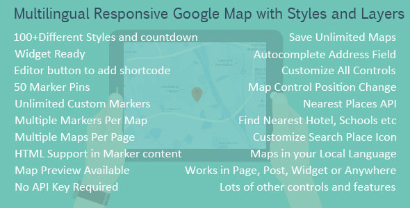
    This is a google maps WordPress plugin to generate fully customized responsive google maps in your local language. Unlimited marker pins available. 100+ different styles(skin) available and counting.

    Go to admin side add new map and use shortcode to display map.

    [SBMAP ID="YOUR MAP ID"]

    Replace YOUR MAP ID Twitter

  • Responsive Google Maps (Utilities)

    Responsive Google Maps (Utilities)

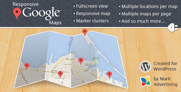
    A responsive Google map that allows multiple markers per map and multiple maps per page. Includes fullscreen view and marker clustering. No API key required. Easy simple setup. No long complex shortcodes to generate by hand. As simple as creating a map, quick add a location, copy the simple shortcode to the page you want the map on, and you’re done.

    Requirements

    • WordPress 3.5 or later
    • jQuery (included with WordPress)

    Compatible With

    • Chrome
    • FireFox
    • Safari
    • Opera
    • IE 7+

    Features Include

    • Responsive map
    • Multiple locations on one map
    • Multiple maps per page
    • Upload your own marker icons
    • Fullscreen view
    • Custom navigation colors
    • Direction to and from anywhere
    • Custom infowindow content (you can even add pictures)
    • Categorize locations
    • No API key needed (unless you want to)
    • Global and per map options
    • Display location and map pages as individual pages
    • Quick add of locations from map page
    • Different map types (roadmap, satellite, hybrid, and terrain)
    • Enable/disable user location
    • Auto zoom and fit
    • Custom default marker icon or standard Google maker icon
    • Custom map sizes
    • Easy shortcodes
    • Enable/disable several different map controls
    • Works on secure(https) and non-secure(http) sites
    • Weather & cloud layer
    • Panoramio layer with image filter by ID or tag

    Examples

    Map with several options

    Map with Panoramio layer filtered by tag

    Map with weather and cloud layers

    Change log

    1.0.3 - 2013/10/24
    
    * Added map weather layer with additional options
    * Added map cloud layer
    * Added map Panoramio layer with additional options
    * Added map centering on window resizing to make more responsive
    * UI improvements / Cleaned up options
    * Fixed issue with json_encode() having two parameters
    
    1.0.2 - 2013/10/18
    
    * Added custom color to map navigation bar
    * Added enable/disable fullscreen
    * Added enable/disable reset map button
    * Added enable/disable auto fit map button
    * Added more marker images
    * Bug fixes
    
    1.0.1 - 2013/10/15
    
    * Removed namespacing and made everything class based
    * Removed PHP 5.3 or higher requirement
    
    1.0 - 2013/09/16
    
    * Initial Release